
Siskiyou Mountain Club
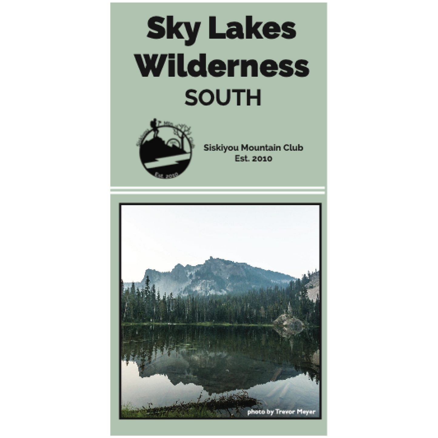
Sky Lakes Wilderness South Map
Sky Lakes Wilderness South Map
Regular price
$15.00
Regular price
Sale price
$15.00
Unit price
per
The 7.5-minute topographic map comes with 40-foot contour intervals and is printed on a water-resistant paper for tough field use. The southern half of the Sky Lakes includes the Pacific Crest Trail, Mt. McLaughlin, and the South Fork Rogue River.
Paper: Polyart synthetic paper
Dimensions Flat: 24'' x 36''
Dimensions Folded: 8'' x 4''
Scale: 1:24000
Contour Interval: 40ft
Print Date: 2019
Designed by SMC Staff | Printed in the USA
Couldn't load pickup availability