by Vincent DiFrancesco – July 22, 2026
Volunteers Resupply Crew after Nine Days in the Wilderness
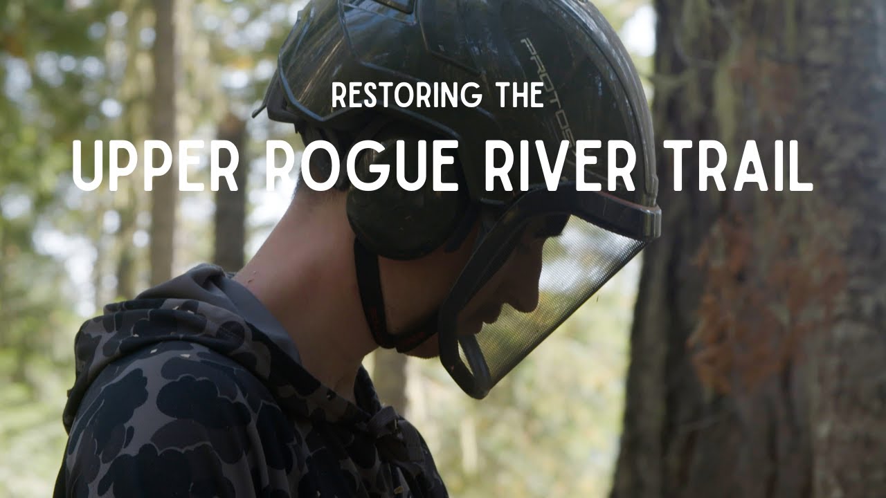
The Corps members were nine days into a 14-day hitch in the Bull of the Woods Wilderness, tackling heavy brush, hundreds of logs, and damaged tread on a loop of backpacking trails.